Novello Nascetta
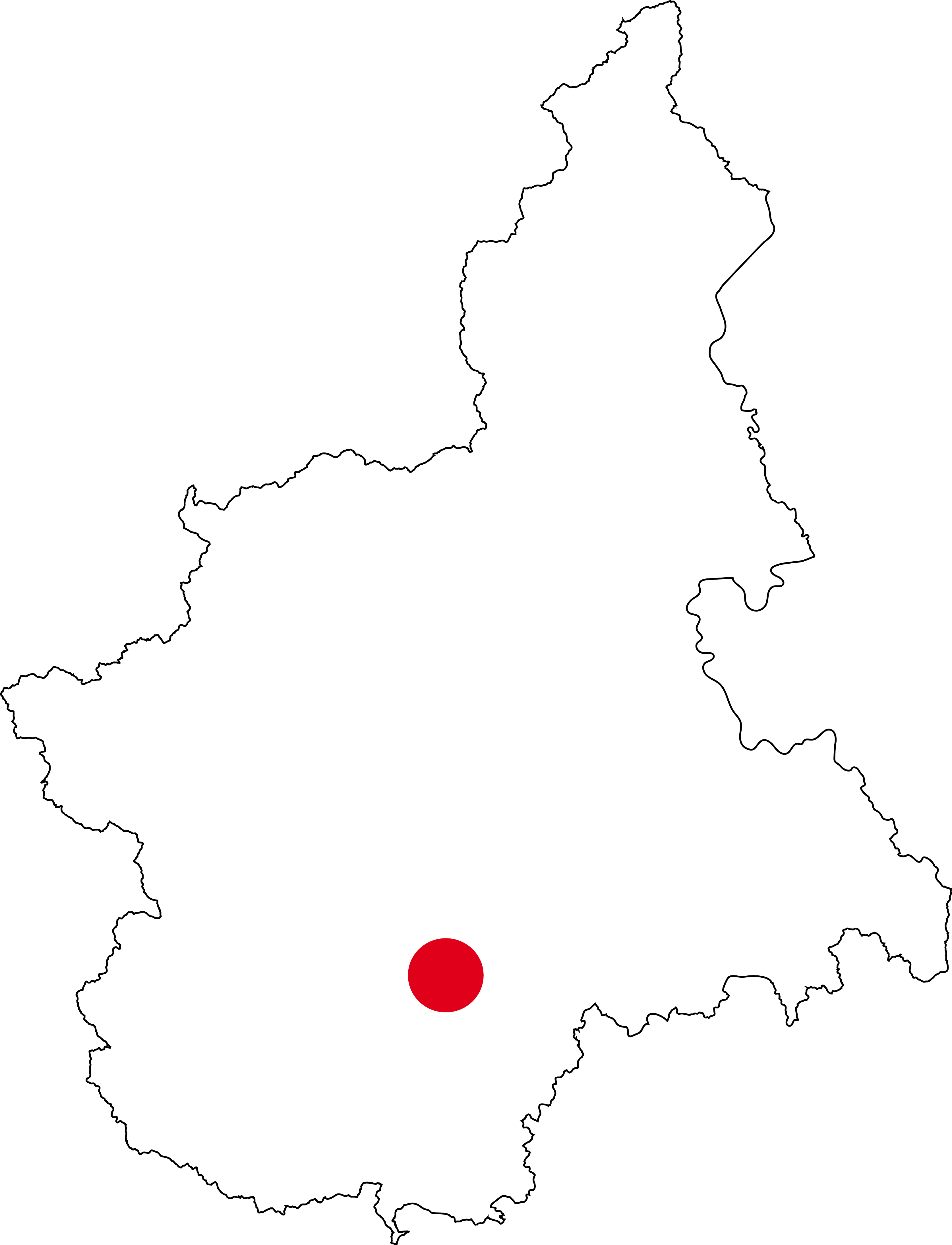
REGION: Piemonte
APPELLATION: Langhe
For many enthusiasts, the name Novello immediately evokes that of Barolo. In fact, as of 2010, the name of this commune is also associated with Nascetta.
A young and ancient grape variety at the same time, which after a long period of oblivion was rediscovered between the late 1980s and early 1990s thanks to the Elvio Cogno wineries, first, and then Le Strette. A path of valorization that led first to the recognition of the Langhe Nascetta DOC (2002) and then, precisely in 2010, of the Langhe Nascetta del Comune di Novello, thus ratifying a sort of primogeniture linked to this village and its producers.
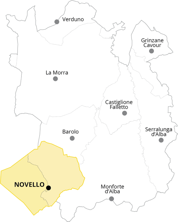
Unlike Barolo, however, in whose production area Novello falls only in part (see the image above), the Langhe Nascetta del Comune di Novello can be produced in the entire municipal area, which in turn can be divided into three different areas, easily identified in the maps published below.
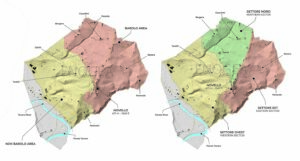
The Northern and Eastern Sectors fall within the Barolo production area, and the zones that can be identified within them are none other than the Barolo MGAs already described in this section, but which cannot be used on Langhe Nascetta labels.
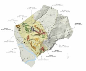
The Western Sector, outside the Barolo area, is the one that to date can boast the greatest presence of the Nascetta grape variety and an equally deep-rooted tradition in terms of crus and place names. For this reason, starting from local traditions and landscape analysis, I thought of identifying within it 11 different zones that are entirely comparable in practical terms to the MGAs of Barolo, but which currently enjoy no official recognition.
With the exception of the Pasinotti area, which from the point of view of soils, exposure and slope could be considered as an extension of the Eastern Sector, and in particular of the Sottocastello di Novello MGA, the rest of the Western Sector can be seen as one large slope descending from the village of Novello to the Tanaro River valley.
A slope furrowed by a series of valleys and ridges that make it easy to identify the remaining ten historical zones, clearly visible both in the map below and in the second panoramic image. More precisely these are: Baricalino, Belmonda, Bricco Neri, Chiarene, Fasana, Fornaci, Il Pavre, Piano, Rostagni, Tarditi Soprani, and Tarditi Sottani.